High resolution magnetometry survey
Igne conducted a high resolution magnetometry survey to identity potential items of ordnance at a former RAF base in Gloucestershire.
Desktop risk assessment confirms medium to high risk
Igne conducted a high resolution magnetometry survey to identity potential items of ordnance at a former RAF base in Gloucestershire.
Initially, Igne undertook a desktop risk assessment of the site in Gloucestershire. The site was a former RAF base, due to how these sites are used the presence of unexploded ordnance (UXO) is very likely. The detailed assessment confirmed that there was a medium to high risk or ordnance across the site - especially in the live firing range.
As a result, a magnetometry survey was needed to identify the presence of ferrous objects and mitigate the threat of any UXO.
The magnetometry survey findings
The client's aim was to change the use of a former airbase from agricultural land to mineral extraction. When they were armed with a thorough understanding of the threat posed by the site's history, Igne assisted in enabling the safe realisation of this goal.
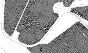
A bi-product of the survey was a detailed magnetic archaeological map of the local area.
A recommendation for a non-intrusive magnetics survey to identify discrete ferrous objects was made.
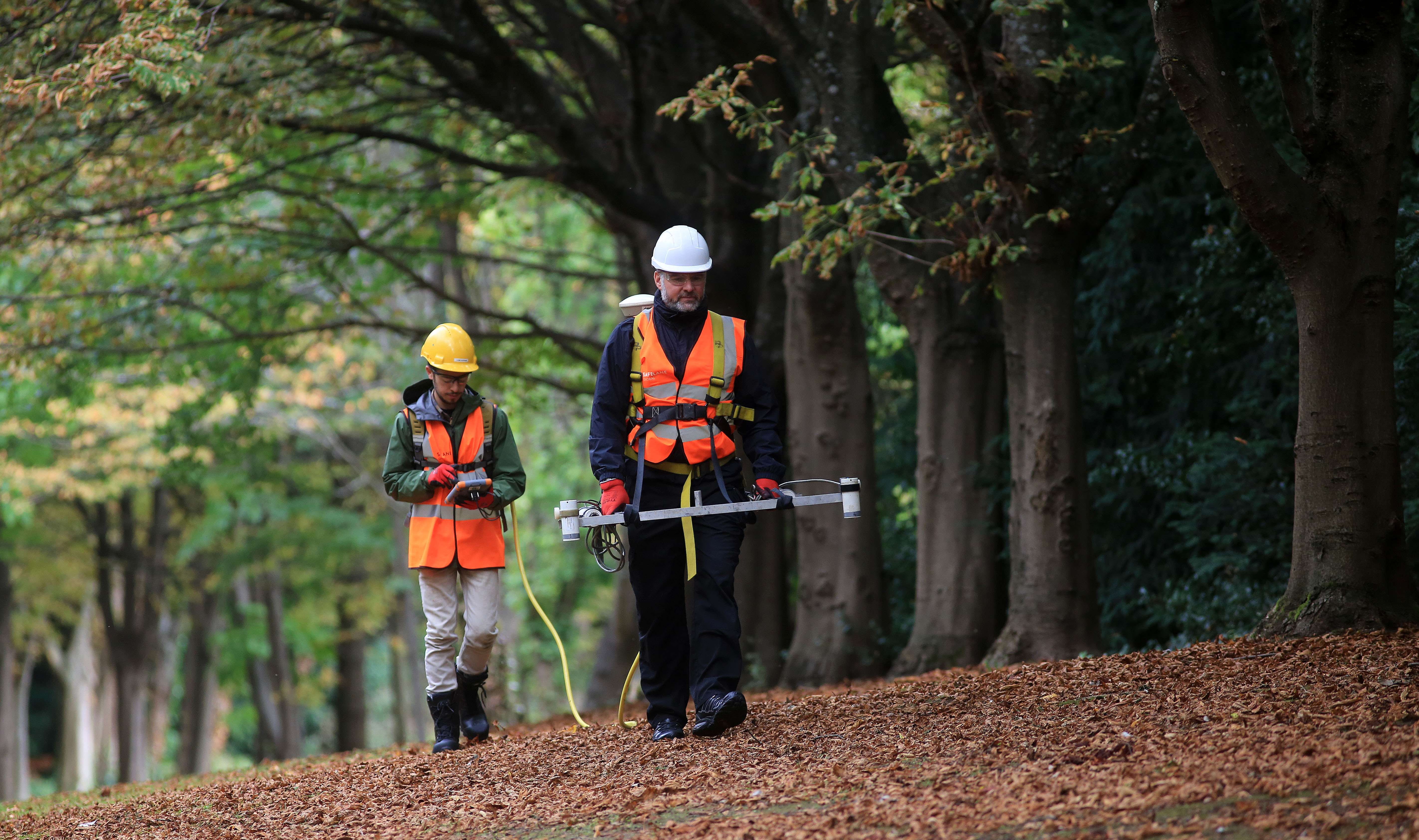
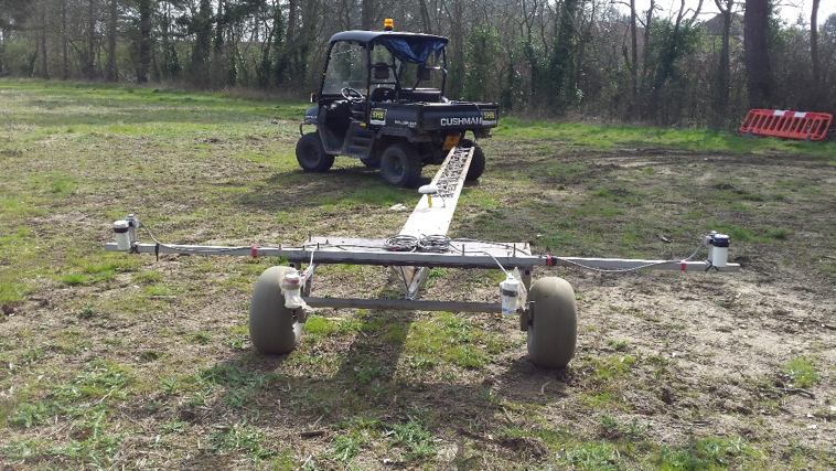
Igne owns all its specialist surveying equipment, meaning clients don't need to worry about third party delays. A total of 200ha was surveyed within a 2 week period; the survey was carried out using Igne's propriety AGS magnetometer system, equipped with four Geometrics G822 total field magnetic sensors.
A Trimble ProXRT with Ominstar G2 correction service (accuracy of 10cm) was used to position the data.
The system was then mounted on to a trailer and towed behind an all-terrain vehicle (ATV) to increase the production of the data.
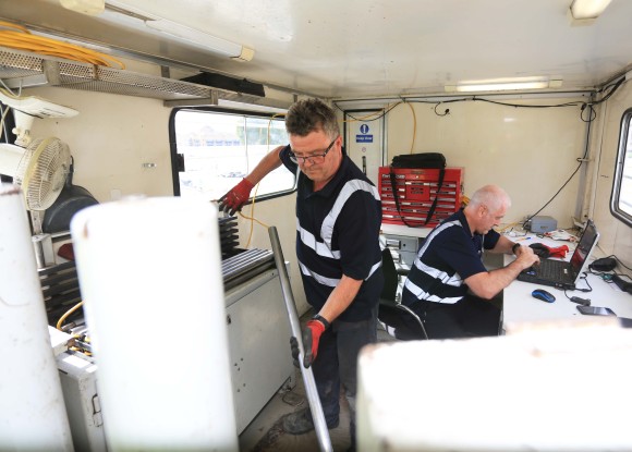
Upon completion of the field survey, the data was interpreted off site by Igne's Geophysicists. They used AGSProc software from which magnetic dipoles caused by man-made ferromagnetic objects, electrical fields or variations in the geological strata can be identified and mathematically modelled. Those that model with the characteristics of discrete objects were then been identified.
The survey detected a total of 2,858 discreet magnetic anomalies with 498 of these modelling over 10kg.
The outcomes were:
The rapid and large scale collection of magnetic data with high resolution to safely detect item of ordnance. As a result of the high degree of sensitivity of the AGS survey system, areas of archaeological interest have also been identified.

This survey data was collected quicker than conventional archaeological survey techniques.
Stay on time and on budget
The UXO threat can be overlooked. This can result in evacuations, disruptions to the public, additional costs, project delays, and harm or death for site workers. Igne's UXO services have been providing value to clients for over 30 years, stopping the wars of the past from impacting the development of tomorrow.
Protect your team and your project. Contact Igne to discuss how to mitigate the UXO threat today.
Other articles of interest

Pre-drill surveys Deptford Wharves UK
Pre-drill surveys and full site clearance for a multinational construction infrastructure company.

Non-intrusive survey for a solar energy farm UK
Non-intrusive survey of a former Royal Air Force station that was being developed as a utility scale solar energy farm.


